Planning for Gunn Point Peninsula

Share Planning for Gunn Point Peninsula on Facebook Share Planning for Gunn Point Peninsula on Twitter Share Planning for Gunn Point Peninsula on Linkedin Email Planning for Gunn Point Peninsula link

Consultation has concluded

photo

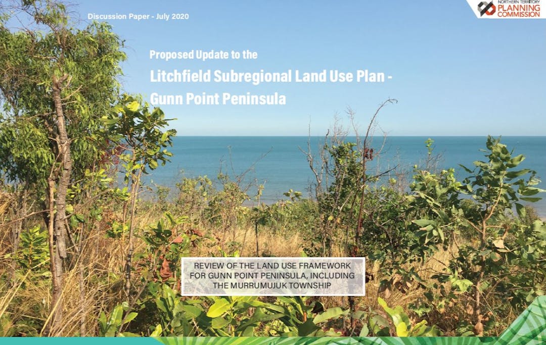
The sealing of Gunn Point Road and investigations into land capability and groundwater availability have prompted a review of the land use structure identified by the Litchfield Subregional Land Use Plan over the Gunn Point peninsula, including the future Murrumujuk Township.

The Litchfield Subregional Land Use Plan (LSLUP) is a long-term plan that provides for urban growth in key locations, supports rural land uses and protects environmental assets within the Litchfield subregion.

The LSLUP builds on the overarching direction provided by the Darwin Regional Land Use Plan (2015) to guide the future development of Darwin. Planning for the future of Darwin is informed by population and infrastructure studies with stakeholder and community feedback being a key influence.

Regional and subregional land use planning provides an opportunity for authorities like Power and Water Corporation to plan for future infrastructure services such as power, water and sewerage for the medium to far term.

The Department of Environment and Natural Resources (DENR) recently completed a comprehensive study to assess and map the biophysical resources of the Gunn Point peninsula under the Mapping the Future program.

The Mapping the Future – Gunn Point assessment focused on:

  • soil and land capability;
  • identification and distribution of biodiversity assets; and
  • groundwater availability.

The proposed updates to the LSLUP respond to land capability and limited groundwater availability by proposing a reconfiguration of some land uses and outlining the conditions for developing land.

The proposed amendment to the LSLUP includes a land use concept for the future township of Murrumujuk and draft planning principles to guide future development opportunities. This includes the development of the Murrumujuk Township being contingent upon the provision of reticulated services (town water) and in conjunction with the development of strategic industry and a deep water port at Glyde Point.

The Northern Territory Planning Commission has now completed the second stage of consultation on the proposed updated to the Litchfield Subregional Land Use Plan.

Stage Two consultation, which closed on Friday 28 August 2020, was an opportunity to seek comments from the community on the proposed reconfiguration of previously identified land uses across the peninsula. Feedback received can be found in the Stage Two Consultation Snapshot and Stage Two Consultation Report.

Consultation has concluded
  • NT Planning Scheme 2020 - Amended

    Share NT Planning Scheme 2020 - Amended on Facebook Share NT Planning Scheme 2020 - Amended on Twitter Share NT Planning Scheme 2020 - Amended on Linkedin Email NT Planning Scheme 2020 - Amended link
    CLOSED: This discussion has concluded.

    The Minister for Infrastructure Planning and Logistics, on 27 August 2021, amended the NT Planning Scheme 2020 to omit and replace the Litchfield Subregional Land Use Plan, brining into effect the updates to the Subregional Plan relating to Gunn Point Peninsula.

    The updated Litchfield Subregional Land Use Plan may be viewed at nt.gov.au

  • Planning Scheme Amendment

    Share Planning Scheme Amendment on Facebook Share Planning Scheme Amendment on Twitter Share Planning Scheme Amendment on Linkedin Email Planning Scheme Amendment link
    CLOSED: This discussion has concluded.

    The NT Planning Commission is pleased to advise that the Minister for Infrastructure Planning and Logistics has placed proposed amendments to the Litchfield Subregional Land Use Plan relating to Gunn Point on statutory exhibition to amend the NT Planning Scheme 2020.

    The proposed amendments to the Litchfield Subregional Land Use Plan will be on exhibition for four weeks, with an opportunity to provide a submission until Friday 26 March 2021.

    View the proposed Planning Scheme Amendment and make a submissions through Development Applications Online.