Middle Arm Sustainable Development Precinct
Share Middle Arm Sustainable Development Precinct on Facebook
Share Middle Arm Sustainable Development Precinct on X (formerly Twitter)
Share Middle Arm Sustainable Development Precinct on Linkedin
Email Middle Arm Sustainable Development Precinct link
Consultation has concluded
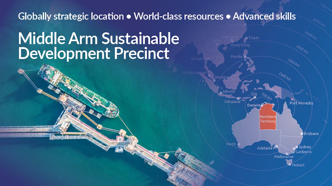
The Northern Territory Government is working with industry and the Australian Government to transform Middle Arm into a sustainable industrial precinct. The 'development ready' precinct aims to capitalise on the Territory’s strategic location and world-class solar resources and is designed to attract industries reflective of the Territory’s future economy.
To learn more, visit www.middlearmprecinct.nt.gov.au or email contact.MASDP@nt.gov.au

