

Katherine water allocation plan 2026-2036
The town of Katherine is located on the Tindall Limestone Aquifer, which stores large volumes of water. The water in this aquifer supports livelihoods, community wellbeing, recreation and is culturally important to Aboriginal people of Katherine. As the Territory’s third largest town, with expected population growth and economic development, securing the water supply for the diverse range of sectors, industries and values that rely on water is important. Therefore, a water plan has been in place for Katherine since 2009.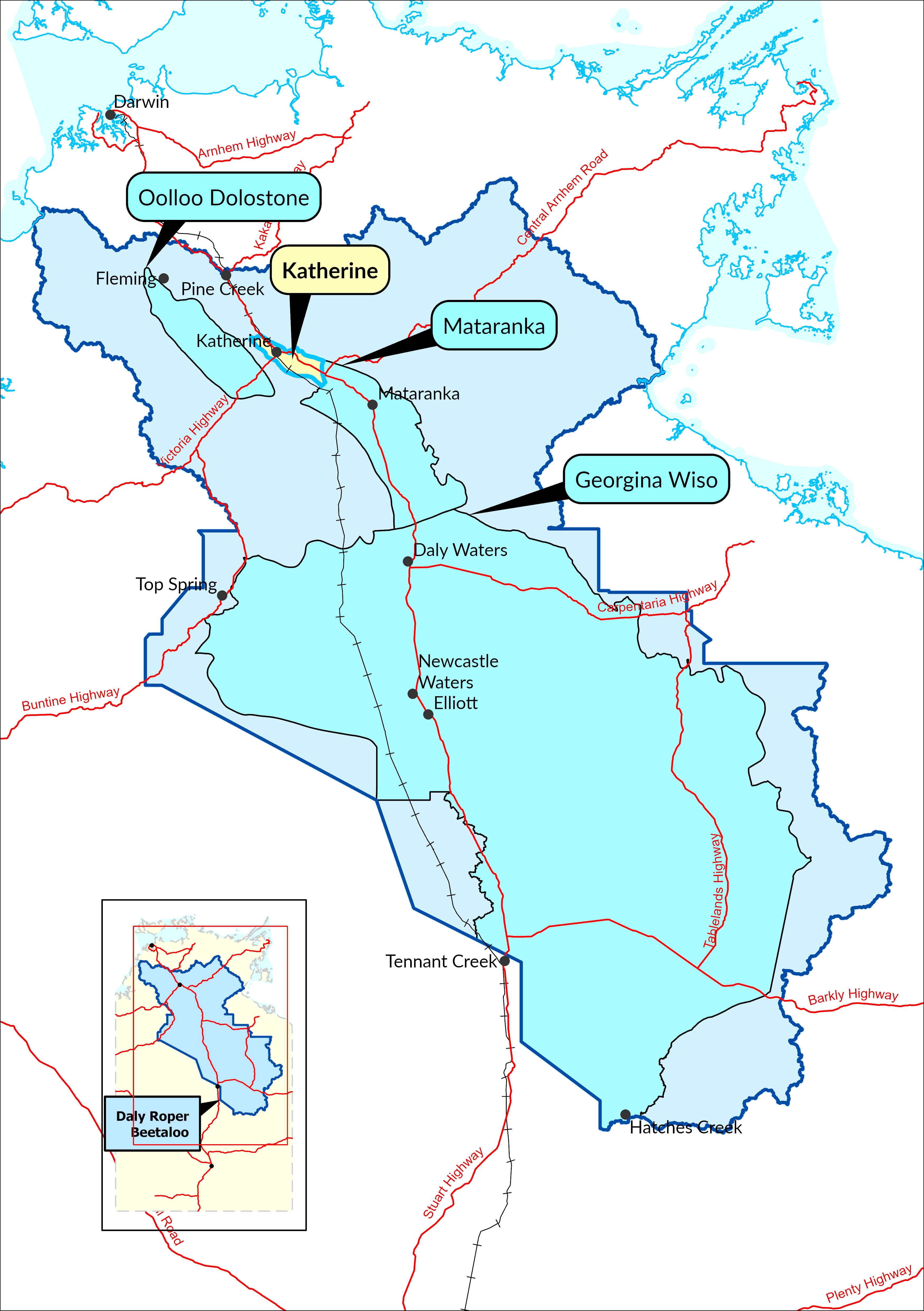 Water allocation plans within Daly Roper Beetaloo water control district
The previous Katherine Tindall Limestone Aquifer Water Allocation Plan 2024–2026 expired on 16 February 2026.
The Department of Lands, Planning and Environment has developed a new 10-year water plan for Katherine covering the period 2026–2036. The plan was declared by the Minister for Water Resources in 2026. This is the fifth iteration of the Katherine water plan.
The new plan was developed with input from the Daly River Water Advisory Committee which includes representatives from agriculture, tourism, recreational fisheries, Aboriginal communities, and commerce. Broader public consultation was undertaken from 13 October to 10 November 2025, providing the community with an opportunity to contribute to the planning process.
The Katherine water allocation plan consist of three key documents:
Katherine water plan 2026–2036
- Establishes the Estimated Sustainable Yield (ESY) for the plan area
- Defines the rules for managing water
Katherine water plan 2026-2036: Background report
- Explains the science, data, and processes that informed the plan
- Summarises the environmental values that depend on water, as well as the social and development context, including current and projected water use
Katherine water plan 2026-2036: Implementation actions
- Outlines a work program to build knowledge and support adaptive water management over the 10-year term of the plan.
- Details the program for continuous assessment of the region’s water resources, including monitoring, data collection, and analysis of water quantity, quality, and use throughout the life of the plan